About The Site:
The Making of The Bend
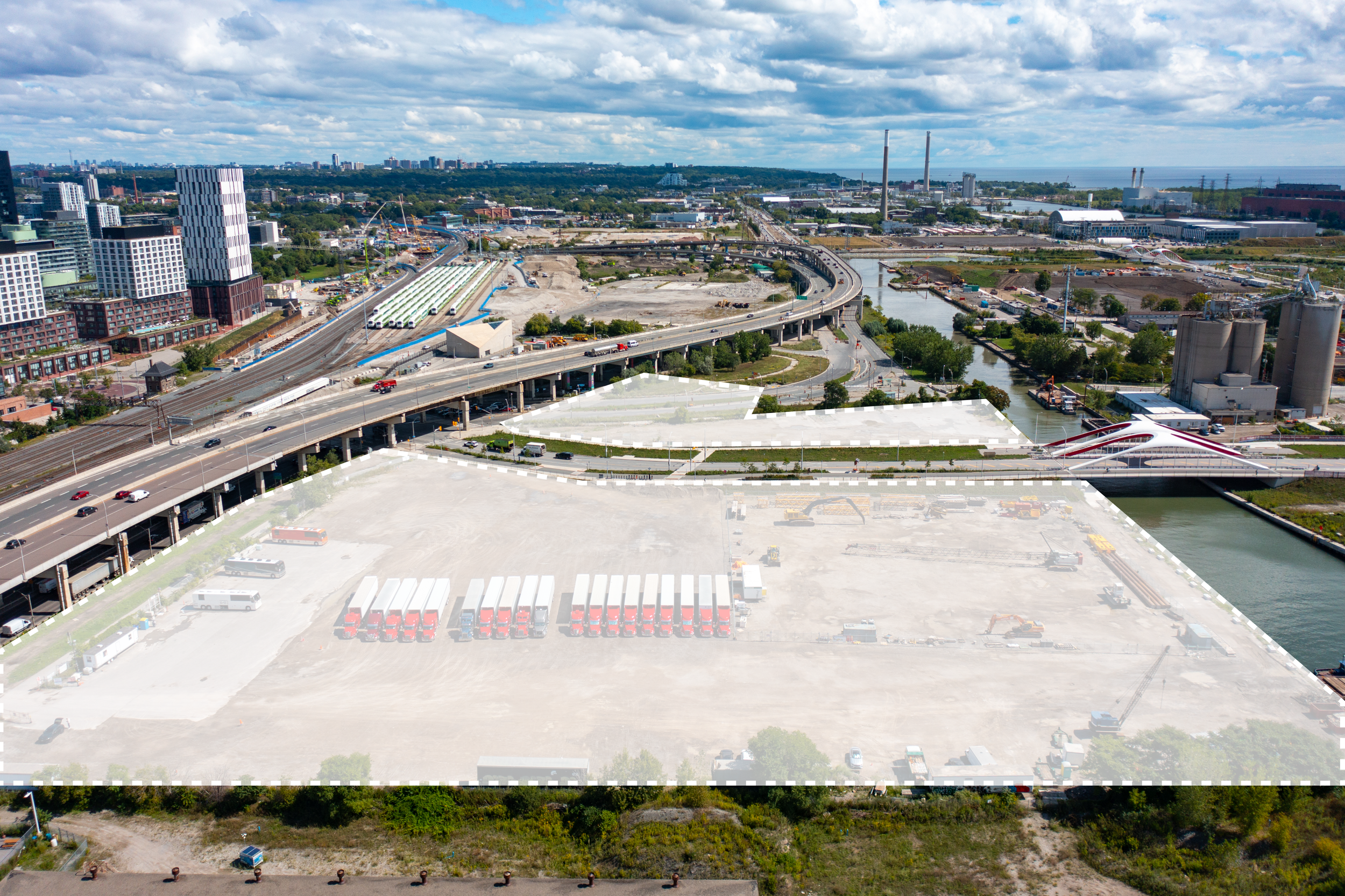
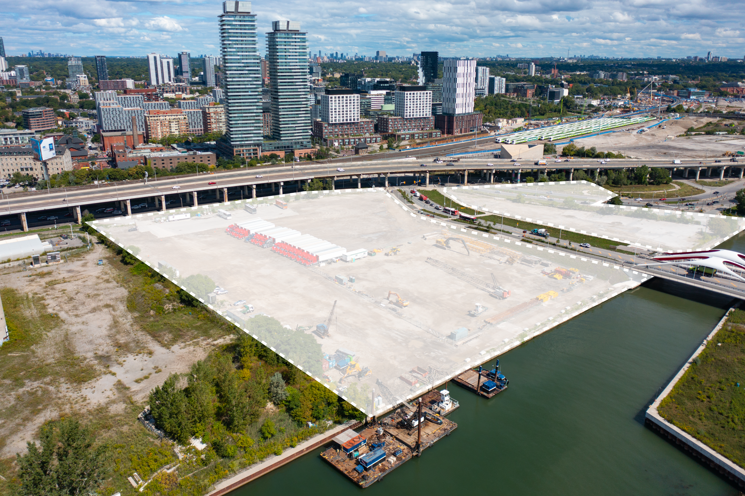
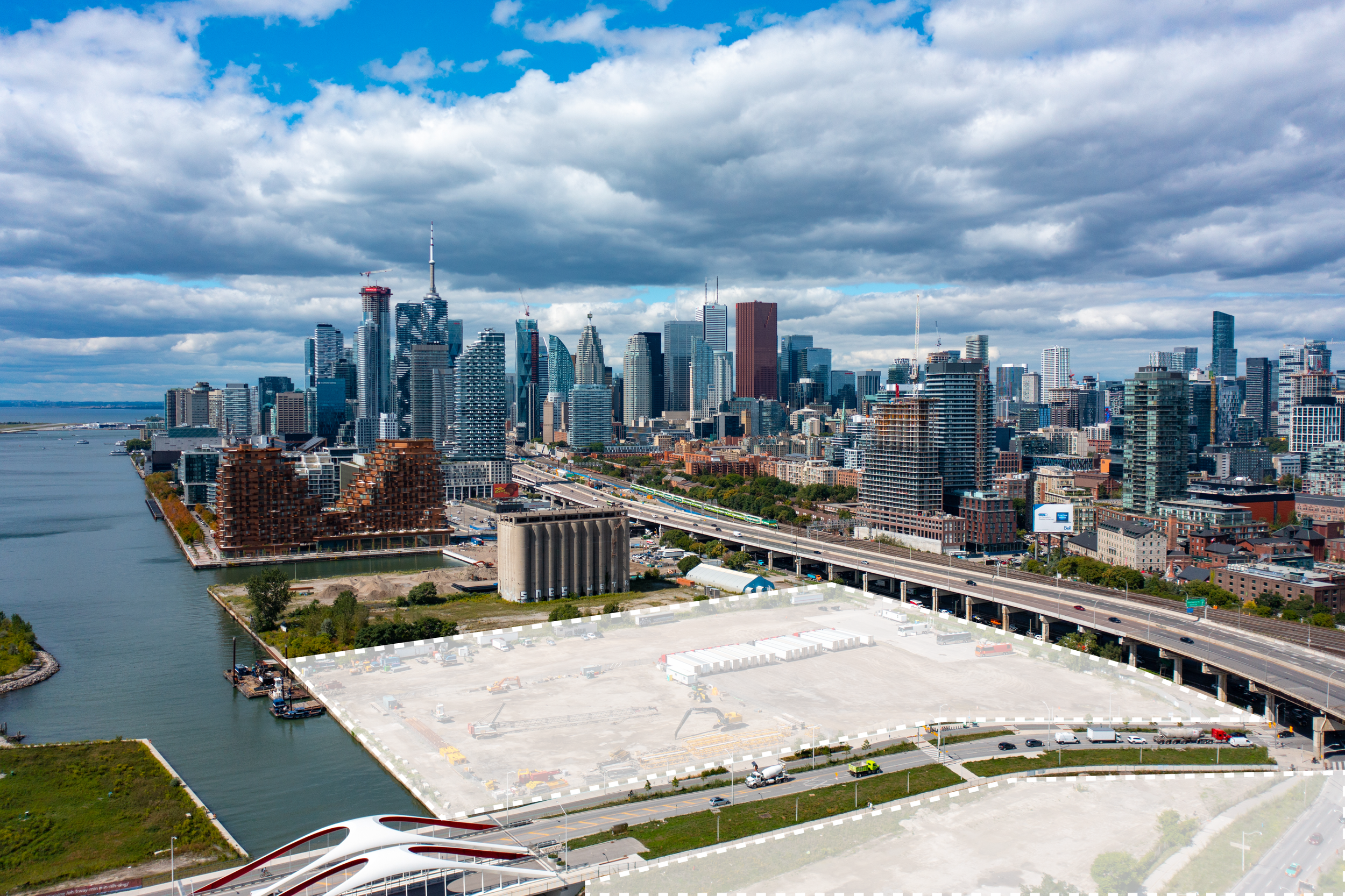
At the future intersection of Queens Quay East and Cherry Street, The Bend forms an urban hinge connecting Toronto’s central waterfront, the Distillery District and Ookwemin Minising Island.
The Bend features both blue and green characteristics from the Inner Harbour and the Don River landscape.
At the River Mouth
An Urban Hinge
The Bend is the hinge between old and new. This is where Queens Quay East curves from the central waterfront to the river, and Cherry Street bends and crosses the Keating Channel – marking the gateway between Toronto’s old and new neighbourhoods.
A Channel Site
The Bend forms the transition from a waterfront to a channel site. The location on the Keating Channel creates new conditions and possibilities for the public realm and how we build towards the water’s edge – the experience of a closer connection to water.
From Wetlands then Industry to a New Neighbourhood
The Bend has a rich history. It has transformed from natural wetlands to an industrial zone and now a site awaiting transformation.
Pre-European settlement - an area for fishing and gathering place for Indigenous peoples
An industrial area created through lake-filling (1880s – 1920s)
The construction of the Keating Channel (1922)
The decline of industry (1970s-2000s)
The formation of a new island & bridge connection (2020s)